
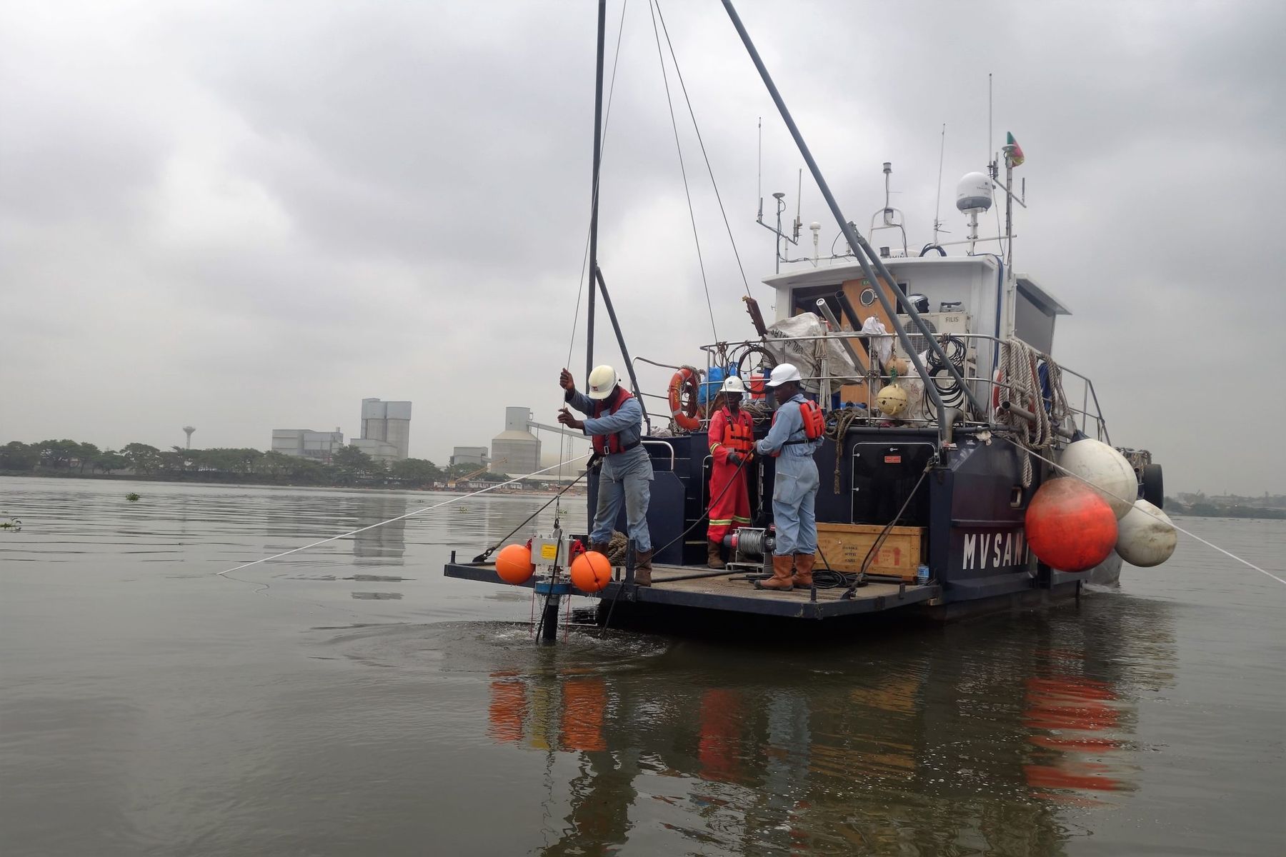
Survey data you can build on, from the shoreline to the seabed.
Geophysical and hydrographic surveys, offshore positioning and construction support for energy, port and infrastructure projects across the Gulf of Guinea — since 1997.
Sustainable solutions to monitor marine and civil environments
Locatech Services Sarl is a Cameroonian survey company based at Base Wouri, in the port of Douala. We operate our own survey vessels and a large pool of survey-grade sensors, so crews and equipment can mobilise quickly — without waiting on imports or customs.
Our fields of expertise
- Construction assistance
- Marine geophysics & hydrography
- Oceanographic & environmental studies
- Civil & coastal engineering
- Energy & telecommunications
- Geodesy & positioning
Four core services, one integrated survey team
All services →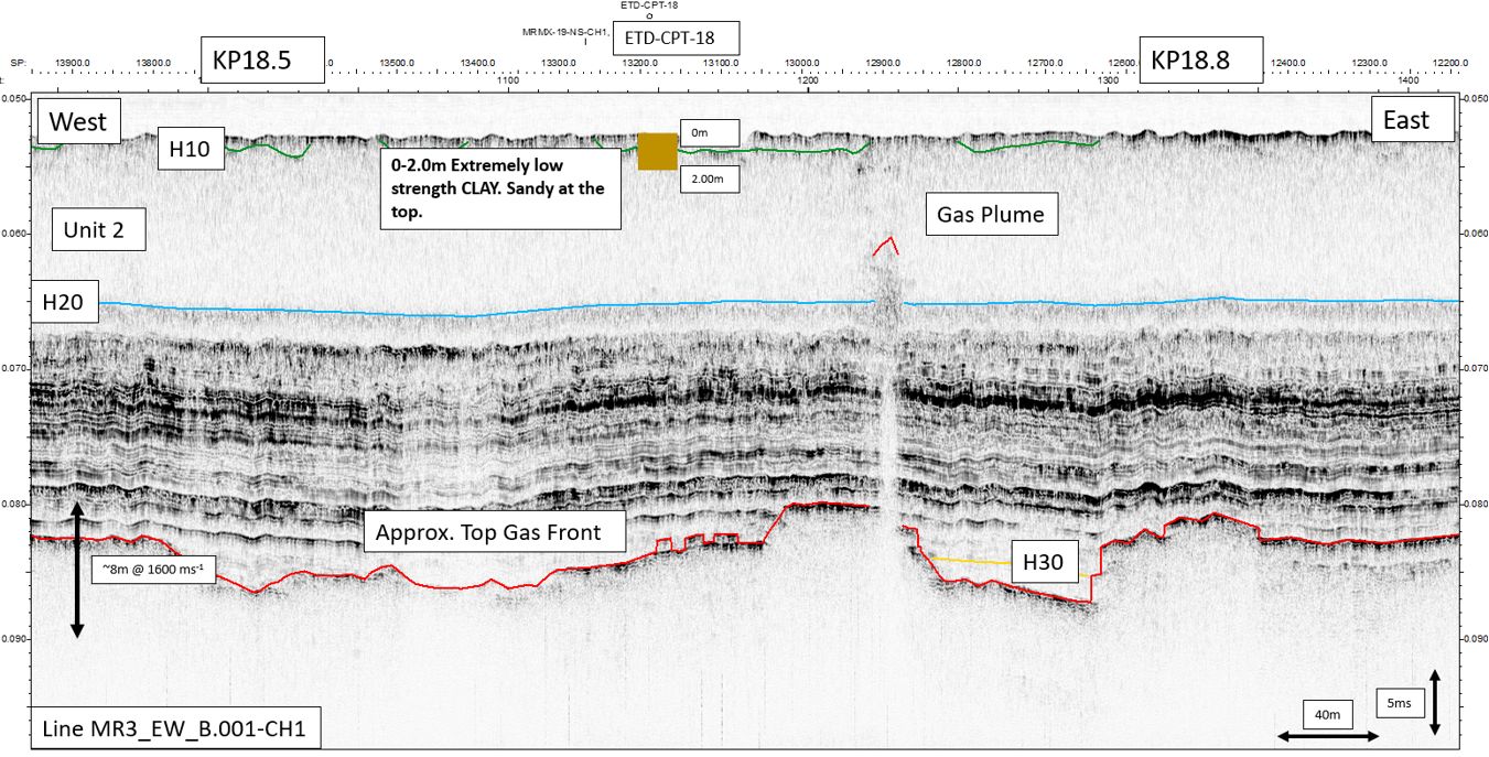
Geophysical survey
Seabed and sub-seabed data to map geohazards and de-risk offshore structures.
Read more →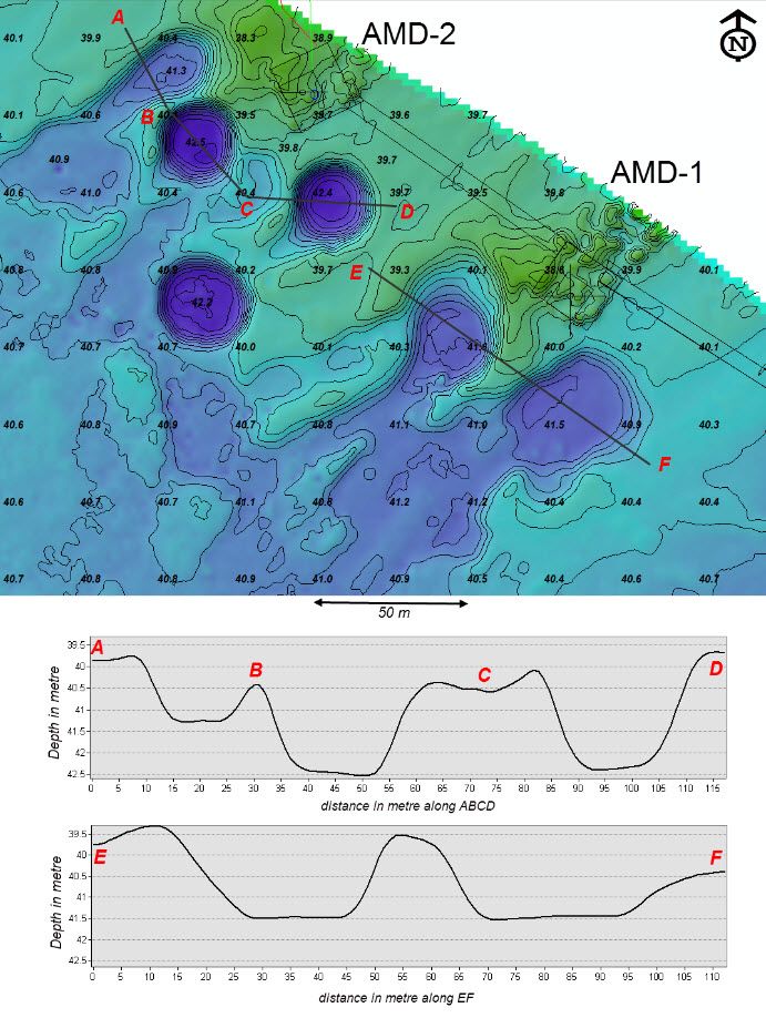
Hydrographic survey
Bathymetry and seabed surveys for ports, dredging, construction and energy.
Read more →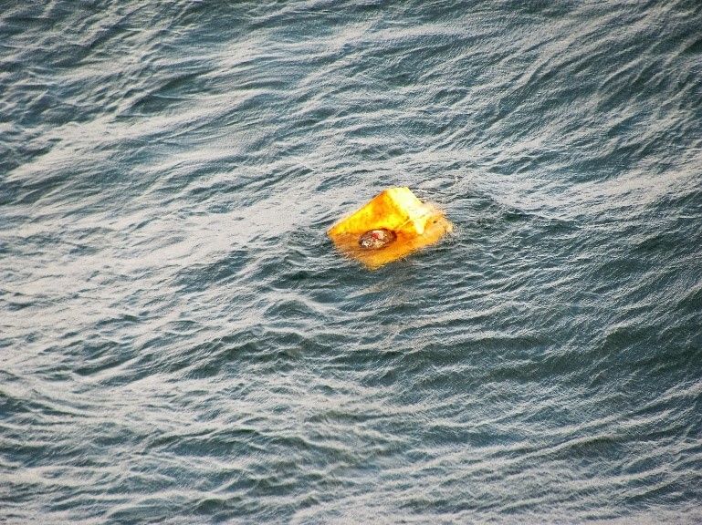
Positioning & construction support
Accurate positioning of vessels, barges and subsea equipment during installation works.
Read more →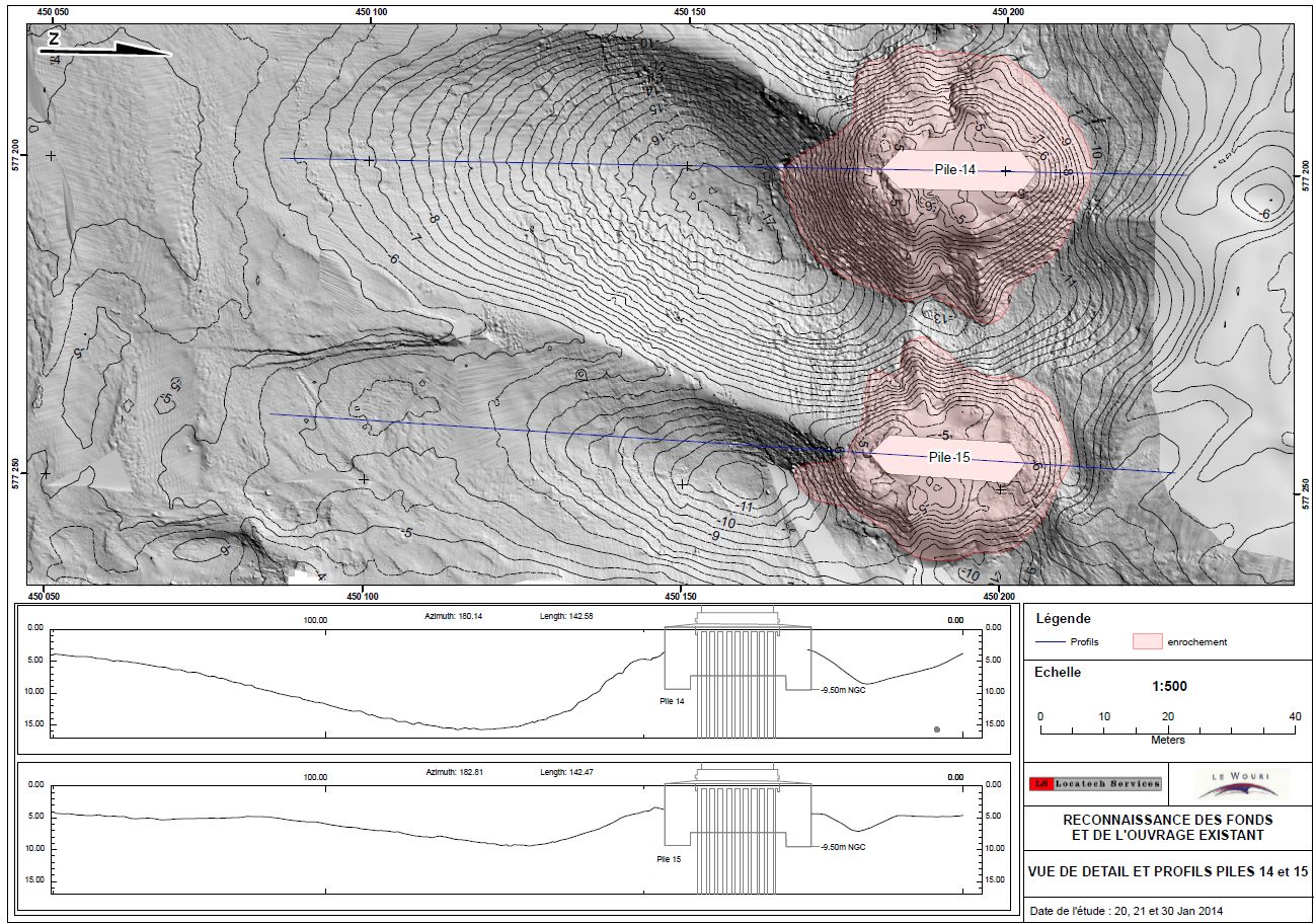
Data processing & interpretation
Online and offline QC, processing and charting suites for clear, decision-ready deliverables.
Read more →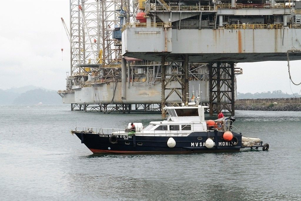
A fleet built for shallow water and nearshore work
In-house survey vessels — from a fast 8.5 m craft to a 14 m steel survey vessel able to sail anywhere in the Gulf of Guinea — with sensors permanently mobilised on board.
- MV Santa Monica14 m survey vessel
- Immaculata Conceptio8.5 m fast survey craft
- Boalondo 1 & 2Inshore survey boats
Industries we serve
Industries →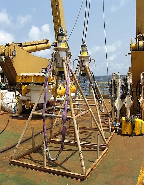
Oil & gas
We provide offshore geophysical and geotechnical services to oil and gas operators, supporting projects throughout their lifetime — from platform and…
Telecommunications & submarine cables
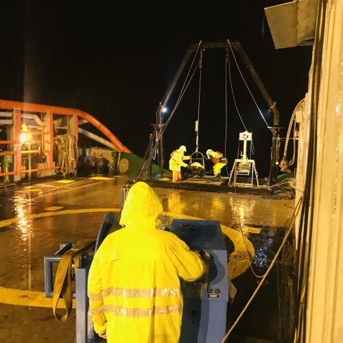
Precise seabed mapping to find a safe cable route, from landfall to any ocean depth, for long-distance repeatered systems and short coastal festoon…
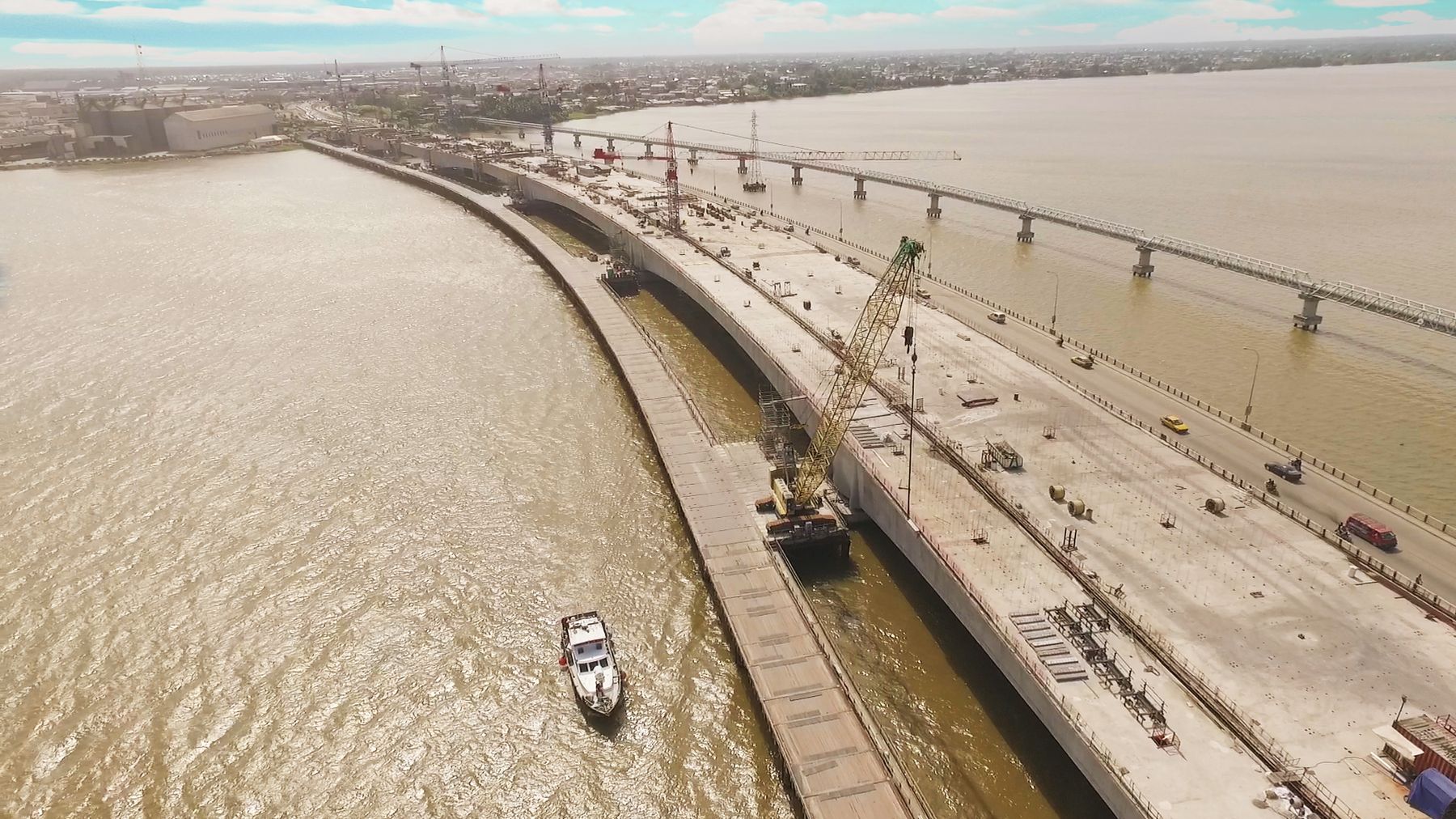
Ports & marine infrastructure
Hydrographic and geophysical data for bridge foundations, subsea tunnels, highways, coastal facilities, land reclamation, dredging assessments,…
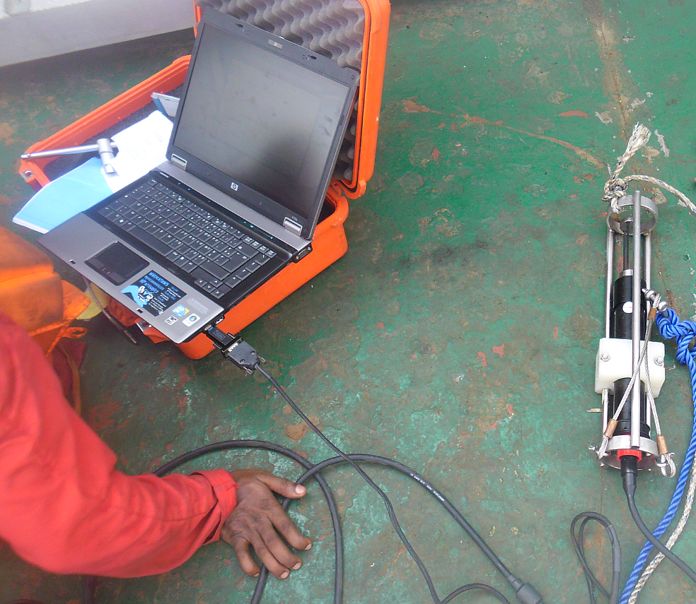
Coastal & environmental
Multi-disciplinary oceanographic and environmental services for civil engineering, construction, telecommunications, power, maritime and hydrocarbon…
They trust us
Operators, contractors and port authorities across West and Central Africa.


Quality, health, safety & environment
Certificates, policies and company brochures in one place.
Planning a survey in the Gulf of Guinea?
Tell us about the site, the deliverables and the timing — we will come back with a method and a quote.