
Home / Industries
Industries we serve
The same survey discipline, adapted to the constraints of each sector.
Oil & gas
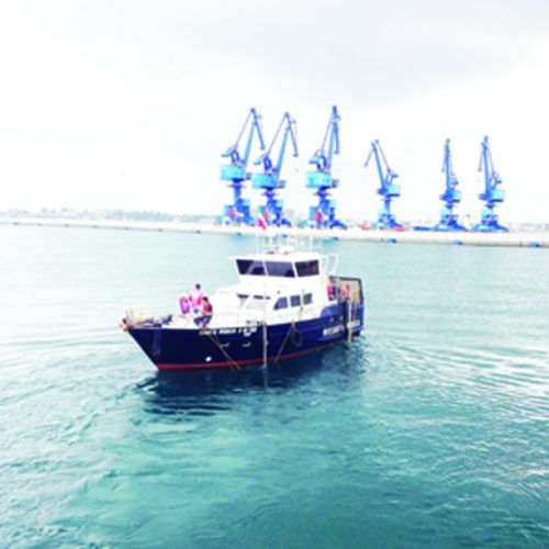
We provide offshore geophysical and geotechnical services to oil and gas operators, supporting projects throughout their lifetime — from platform and subsea installation support offshore to pipeline inspections inshore.
What we deliver
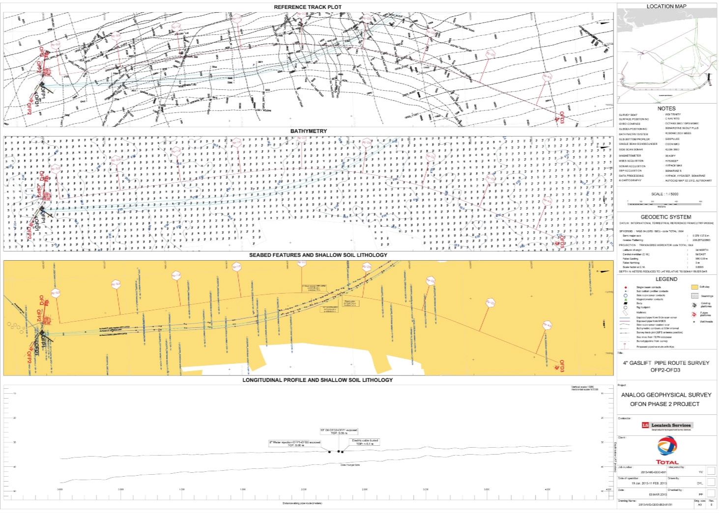
- Pipeline route and platform site surveys
- Geohazard seismic assessments
- High-resolution swath bathymetry
- Rig moves, ROV positioning, touchdown monitoring
- Pipeline and cable installation and repair
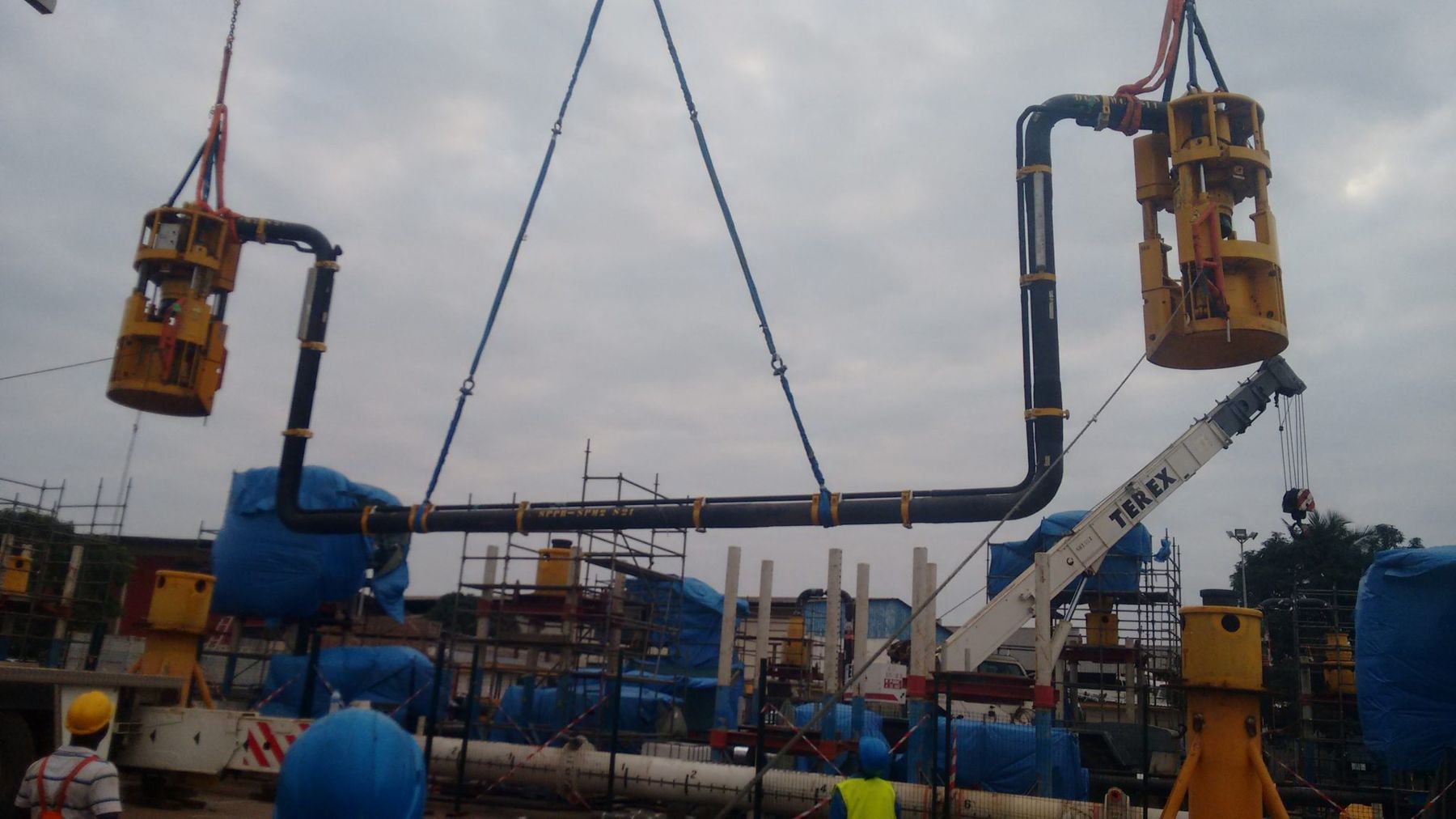
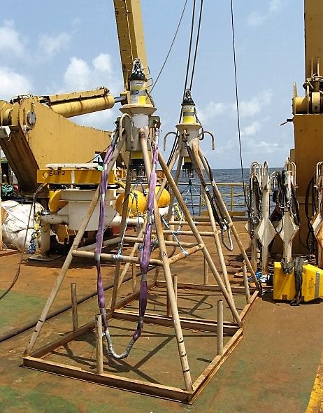
- Dimensional control of subsea structures
Capabilities
- Pipeline route survey
- Barge rig positioning
- Debris survey
- Pre-engineering survey
- Subsea structure inspection
- Pipe laying
Telecommunications & submarine cables
Precise seabed mapping to find a safe cable route, from landfall to any ocean depth, for long-distance repeatered systems and short coastal festoon systems. After installation, post-lay monitoring verifies that cables are correctly positioned, without entanglement or harm to the environment.
What we deliver
- Feasibility and desktop studies
- Landing site identification and assessment
- Route planning, engineering and risk assessment
- Route and burial assessment surveys
- Installation survey support
Capabilities
- Cable route survey
- Cable laying
- Route planning
- Burial assessment
Ports & marine infrastructure
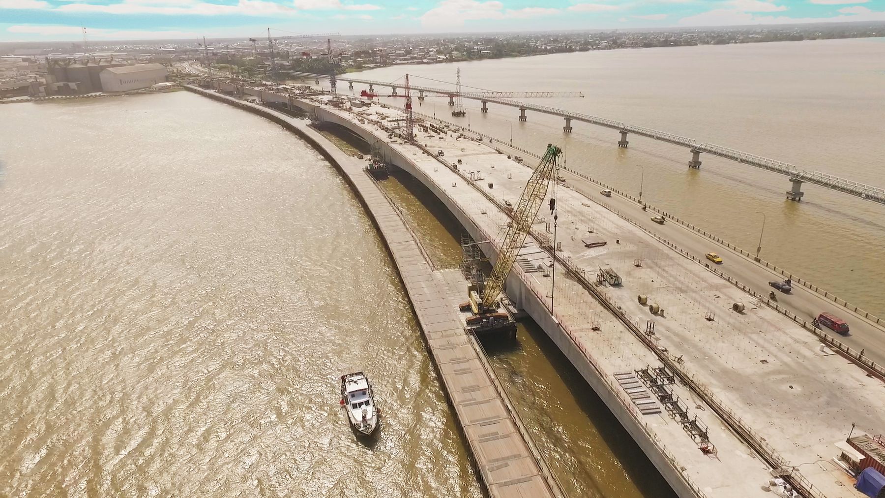
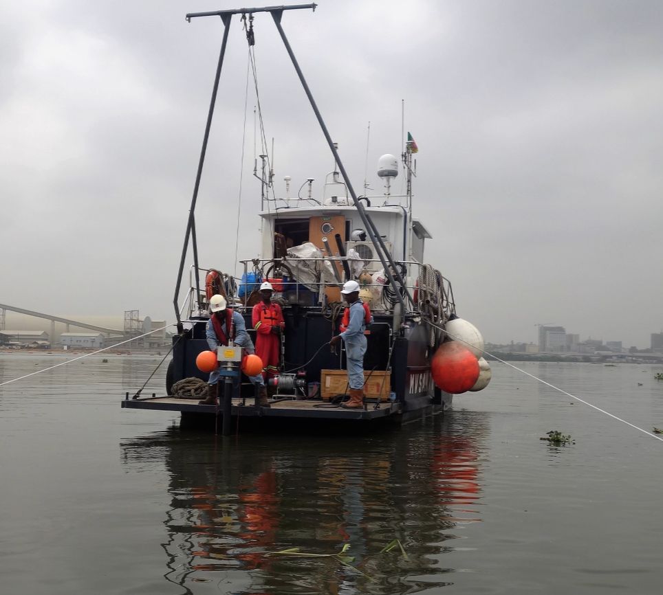
Hydrographic and geophysical data for bridge foundations, subsea tunnels, highways, coastal facilities, land reclamation, dredging assessments, navigation channels and port developments. We give harbour masters the data for safe navigation, dredging companies the data for targeted excavation, and engineers the data to design future developments safely.
What we deliver
- Condition surveys of channels and adjacent structures
- Site investigation and quality data collection
- Support throughout the project lifespan
Capabilities
- Geotechnical survey
- 3D subsea survey
- Multibeam bathymetric profiles
Coastal & environmental
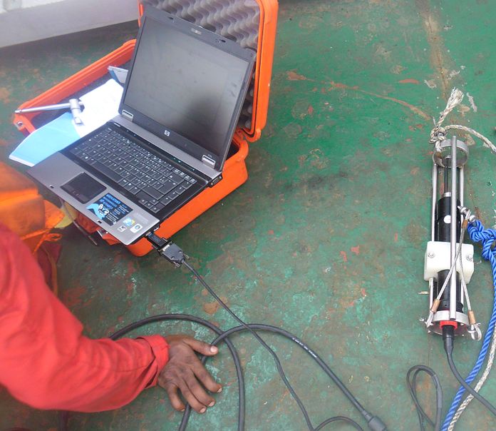
Multi-disciplinary oceanographic and environmental services for civil engineering, construction, telecommunications, power, maritime and hydrocarbon projects. Combined with our topographic and hydrographic capabilities, we offer a complete survey package — saving time and keeping data quality consistent.
What we deliver
- Grab sampling and vibrocore surveys
- Seabed classification and hydro-geomorphological studies
- Underwater video and still photography
- Wave and tidal monitoring
- ADCP and current monitoring surveys
- Real-time multi-parameter data: temperature, salinity, turbidity, pH, current velocity
Capabilities
- Tidal observation and analysis
- Doppler current and wave monitoring
- Geophysical survey
Planning a survey in the Gulf of Guinea?
Tell us about the site, the deliverables and the timing — we will come back with a method and a quote.