
Home / Services
Survey services
From acquisition at sea to the final chart, one team handles the whole survey chain.
Geophysical survey
We gather seabed and sub-seabed data for navigational, design and engineering purposes. Our assessments map geohazards to mitigate risk and optimise the design of offshore structures.
Techniques include high-resolution multibeam bathymetry, digital side-scan and sector-scan sonar, UXO detection, seismic reflection profiling and magnetometry.
What we deliver
- Rig entry and emplacement
- Drilling operations
- Platform installation
- Rig re-entry surveys
- Pre-lay and post-lay pipeline and cable engineering
- UXO identification
- Seabed morphology and navigation access
Selected projects
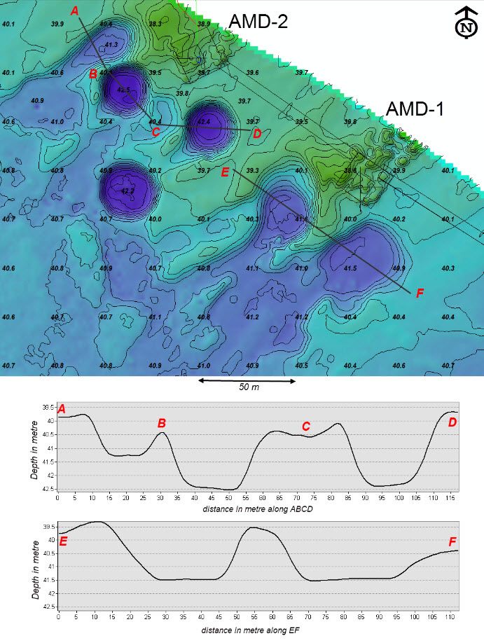
- Seabed classification
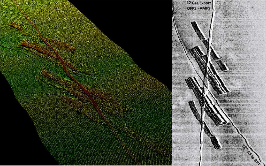
- Pipeline survey
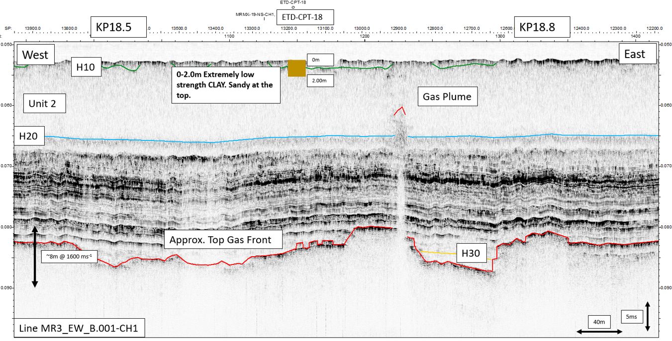
- Shallow geology
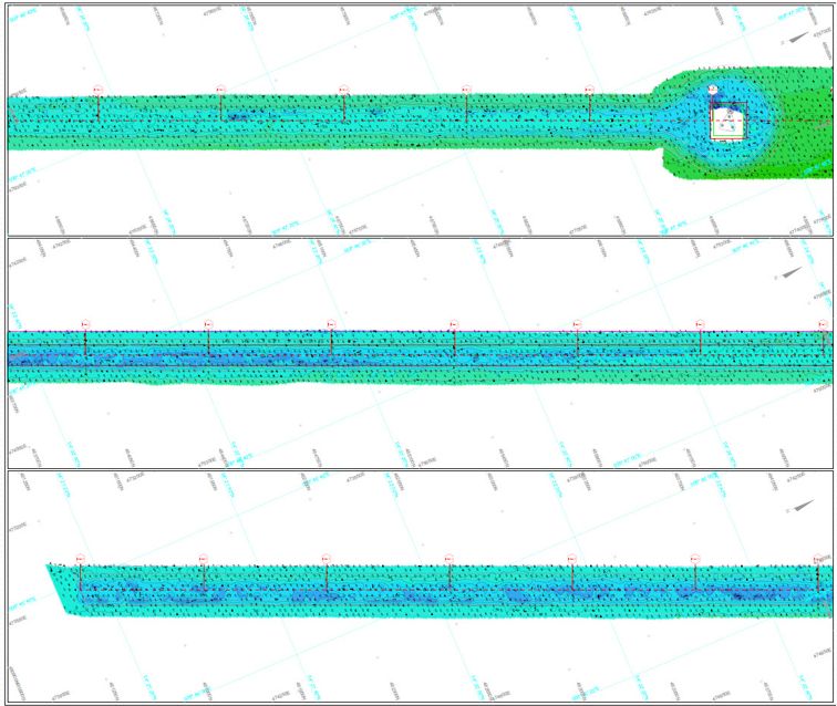
- Pipeline survey with MS 1000 sector-scan sonar
Owned equipment
- Multibeam: Reson SeaBat T20-P, GeoSwath, R2Sonic 2024
- Sector-scan sonar: MS 1000
- Side-scan sonar: Klein 3900, EdgeTech 4200
- Sub-bottom profilers: GeoAcoustics GeoPulse, Innomar SES-2000, SIG sparker
- Magnetometer: SeaSPY
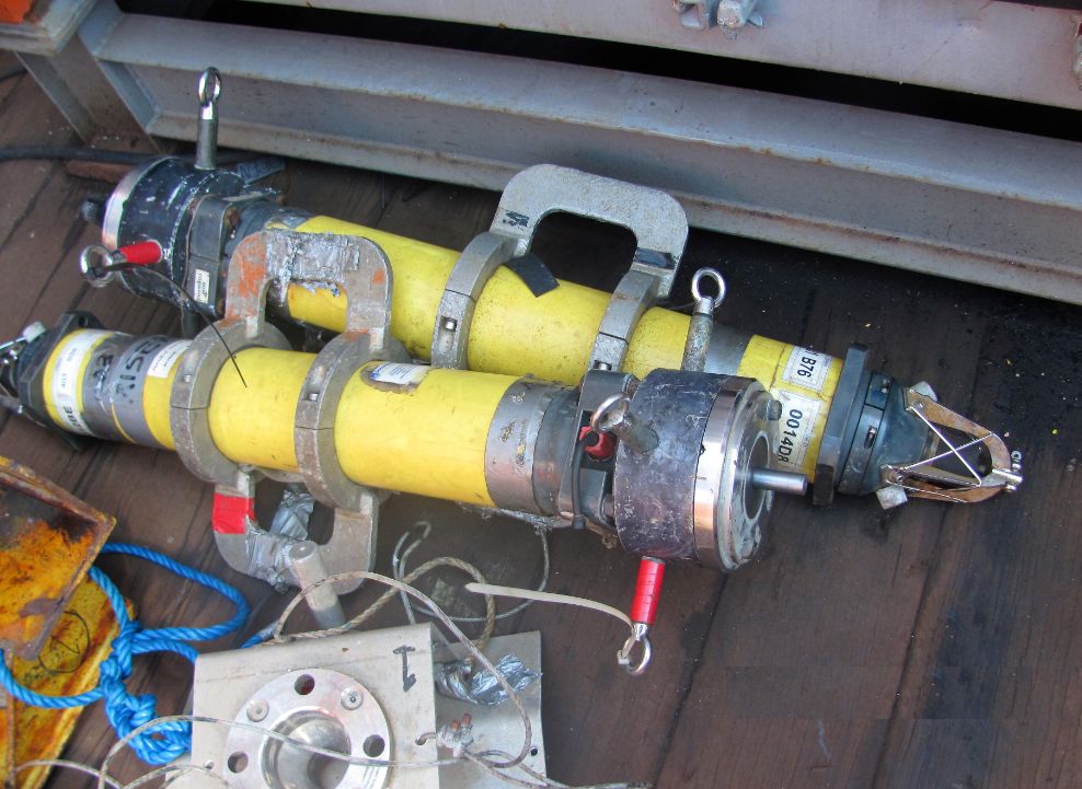
- Pipe tracker
Hydrographic survey
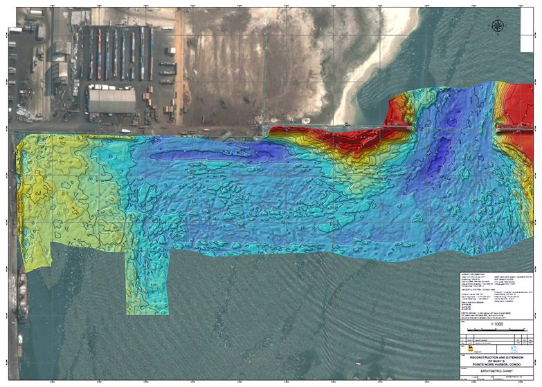
We deliver bathymetry and seabed surveys for the oil and gas, marine construction, naval and port authority sectors — including pre- and post-dredge surveys, buoy mooring and channel surveys.
High-resolution multibeam and single-beam sensors produce data that merges seamlessly with topography for 3D models. Our multibeam systems also record acoustic backscatter for seabed classification. Deliverables include charts, digital drawings, cut-and-fill volumes, cross-sections and GIS-ready datasets.
What we deliver
- Pre- and post-dredge surveys
- Channel and port approach surveys
- Buoy mooring surveys
- Seabed classification from backscatter
- Cut-and-fill volumes and cross-sections
- 3D models merged with topography
Selected projects
- Jetty survey
- Bridge pre-construction bathymetry
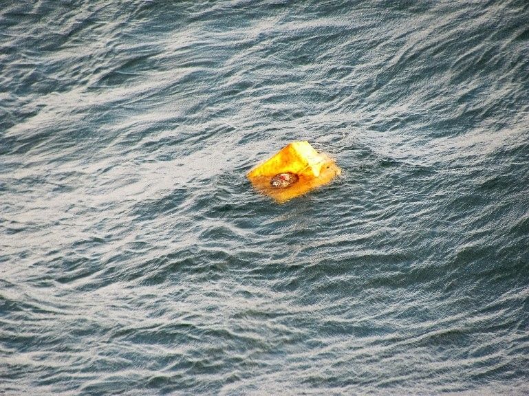
- Rig approach debris survey
- Dredging control bathymetry
Owned equipment
- Multibeam echosounders
- Single-beam echosounders
- Survey-grade gyrocompass
Positioning & construction support
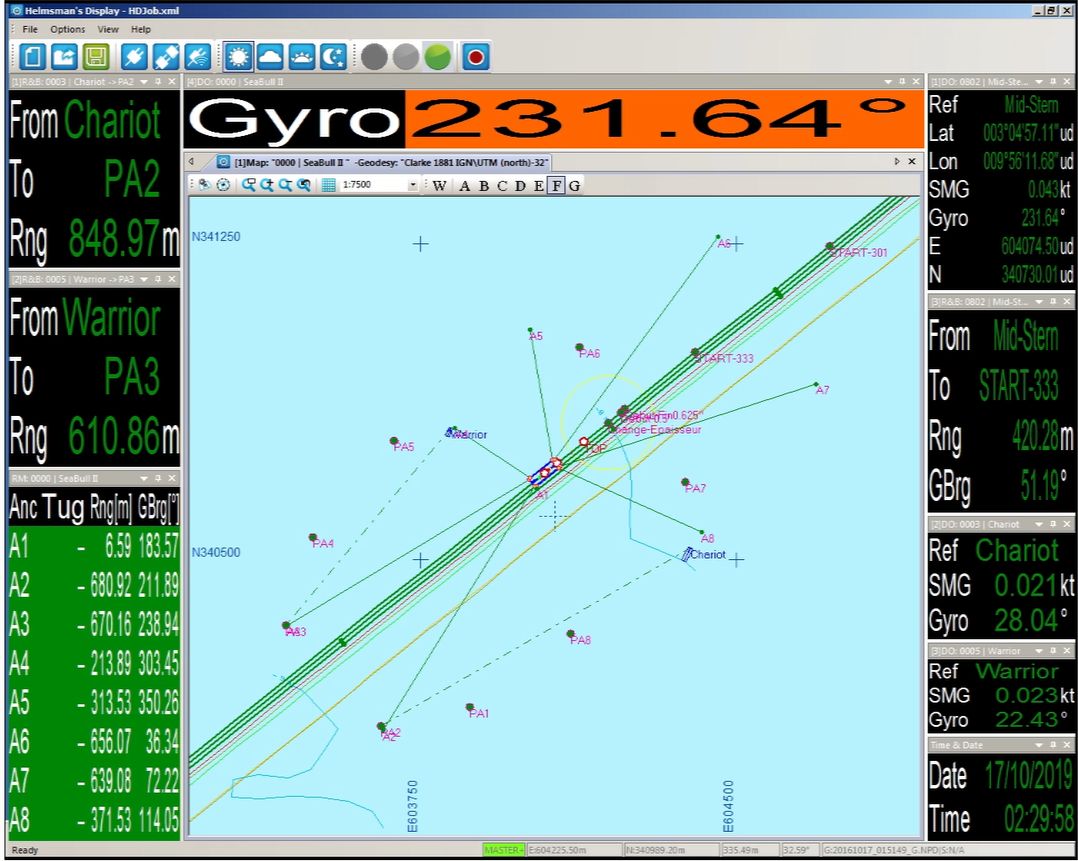
One of our main services is the accurate positioning of offshore construction vessels, dive support vessels, dredgers, barges, tugs and subsea equipment — during survey, installation and construction.
High-accuracy differential GNSS and heading systems on barges and anchor-handling vessels, combined with USBL and LBL acoustics, give a safe, reliable and cost-effective solution for anchor management, ROV operations, diver-less metrology and spool-piece design.
What we deliver
- Surface positioning and anchor handling
- Pipe-lay and cable-lay positioning, touchdown monitoring
- Structure installation guidance
- Acoustic underwater positioning (USBL / LBL)
- ROV positioning, sensors and system integration
- Jumper and spool-piece metrology
- Dimensional control: 3D dimensions and angles, photogrammetry, 3D laser scanning, point clouds
Selected projects
- ROV positioning
- Pipe-laying vessel positioning
- Subsea positioning
Owned equipment
- Subsea positioning (USBL / LBL)
- Gyrocompass
- Surface positioning (DGNSS / RTK)
Data processing & interpretation
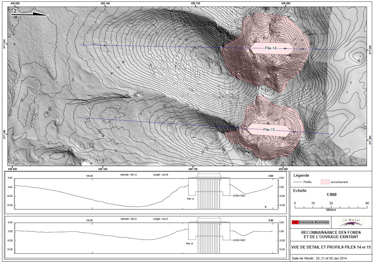
We own and operate online and offline QC, processing and reporting suites for viewing, processing and interpreting data, and for presenting complete deliverables — final charts, reports and digital terrain models.
Our report formats have been refined over many projects through client feedback, so each deliverable fits the project's requirements and helps clients stay on schedule, improve safety and design cost-effective marine operations.
Software & workflows
- 2D high-res seismic — Kingdom Suite
- Sub-bottom profiler data — Kingdom Suite, Delph Seismic, SonarWiz
- Multibeam acquisition and navigation — Hypack, EIVA NaviScan
- Multibeam processing — CARIS HIPS/SIPS, Hysweep
- Side-scan sonar — Delph Sonar, Hypack Max, SonarWiz
- Mapping and GIS — ArcGIS, AutoCAD Map
- Navigation — Trimble HYDROpro, EIVA NaviPac
Selected projects
- Bathymetry and sonar interpretation chart
- Dredging control bathymetry
- Rig approach debris survey
- Pipeline pre-lay survey
- Jetty and nearshore survey
- Control bathymetry for a bridge structure
Planning a survey in the Gulf of Guinea?
Tell us about the site, the deliverables and the timing — we will come back with a method and a quote.